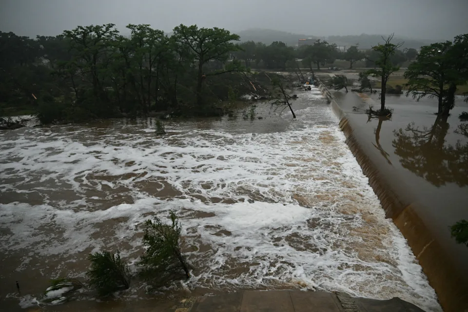
Regardless of its classification as tropical or non-tropical, this system is expected to bring substantial rainfall to the U.S. Gulf Coast, which is currently suffering from drought conditions.
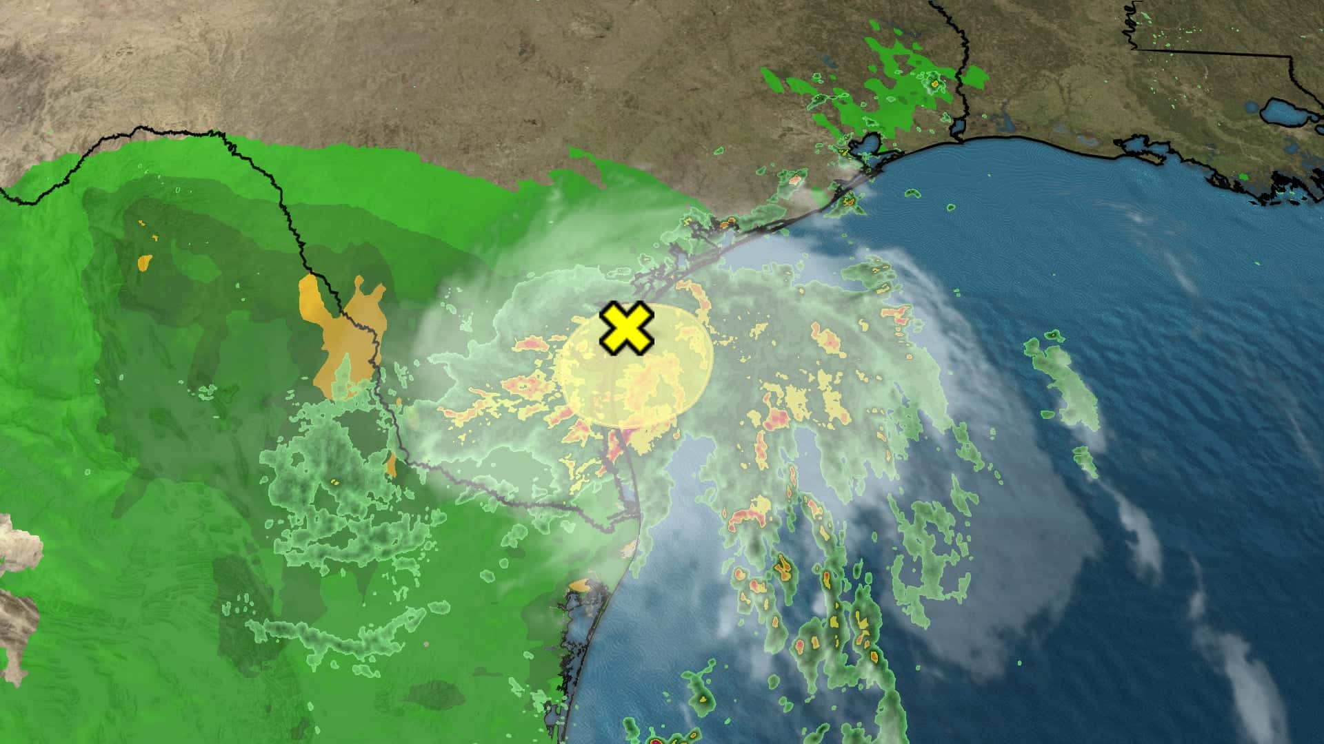
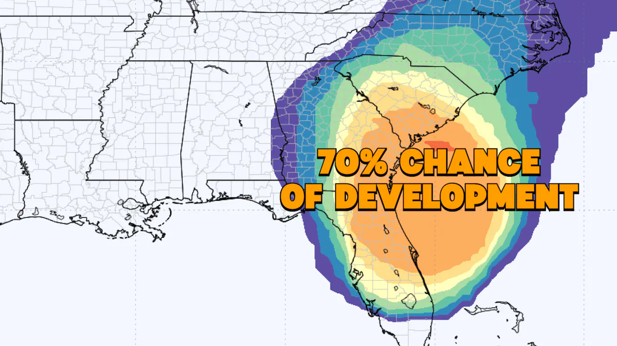
A new tropical disturbance, designated as Invest 93L, emerged in the southwestern Gulf of Mexico early on Monday, and its progress northward through midweek is being closely watched
The National Hurricane Center (NHC) reported that Invest 93L formed in the southwestern Gulf of Mexico, approximately 100 miles north of Coatzacoalcos, Mexico. Environmental conditions in the Gulf of Mexico are somewhat conducive to further development as it slowly moves northward.
The NHC’s latest outlook indicates a low likelihood of tropical depression formation within the next two days. However, by midweek, the system is anticipated to merge with a cold front over the western Gulf of Mexico, diminishing its development prospects. On Tuesday afternoon, the Hurricane Hunters are set to investigate the disturbance, providing valuable data for forecast models.
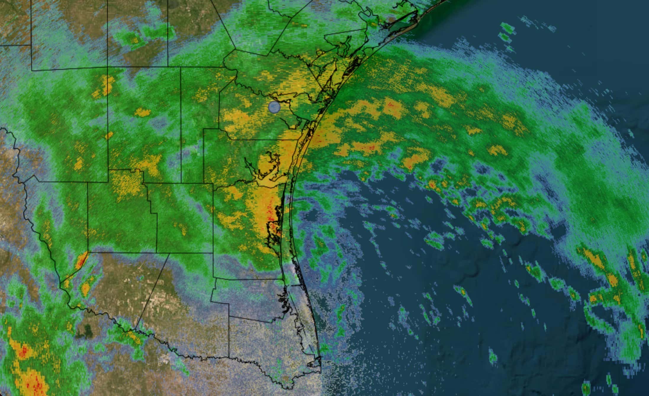
Irrespective of its development status, this system carries both positive and negative implications for the Gulf Coast states, including Texas, Louisiana, Mississippi, Alabama, and the Florida Panhandle and Big Bend. It is expected to deliver heavy tropical rainfall to the region, with projections of 3 to 5 inches of precipitation from New Orleans to Tampa, Florida, over the coming week. While this may lead to isolated flash flooding, it is welcome news for the drought-stricken region.
Drought conditions persist in Southeastern Texas, southern Mississippi, and a significant portion of Louisiana, where exceptional drought is ongoing
The rainfall will benefit cities such as Houston, Gulfport, and Panama City. Moreover, it may help alleviate the saltwater intrusion issues in Plaquemines Parish, Louisiana, and prevent further problems upriver. Currently, the Mississippi River’s low flow, resulting from drought, has allowed Gulf of Mexico seawater to advance upriver.
Areas like Galliano and Port Sulphur could receive up to 5 inches of rain throughout the week, offering relief to communities along the Mississippi River concerned about saltwater intrusion. However, it’s worth noting that the Midwest, a crucial source of the river’s flow, is also grappling with drought conditions.
Normally, the Mississippi River maintains a flow of approximately 300,000 cubic feet per second, but drought has reduced this flow by nearly half, according to the U.S. Army Corps of Engineers. The anticipated rainfall remains beneficial for Louisiana and the Gulf Coast states.
Last week, Louisiana residents received encouraging news as officials indicated a delay in the Gulf of Mexico‘s saltwater intrusion advancing farther upriver, offering a reprieve for the lower Mississippi River.
READ ALSO: Antarctic Sea Ice Plummets To Historic Low, Raising Climate Concerns