Initially anticipated for Wednesday midday, the downpour unexpectedly hit on Tuesday night, intensifying the flash flood warning risk in already saturated regions.
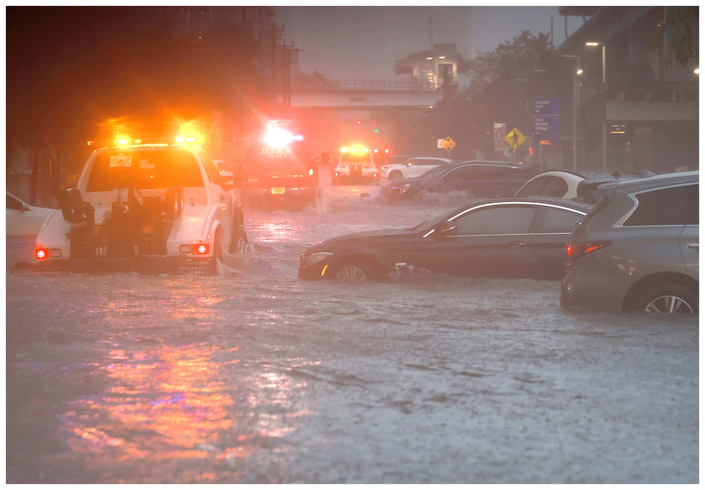
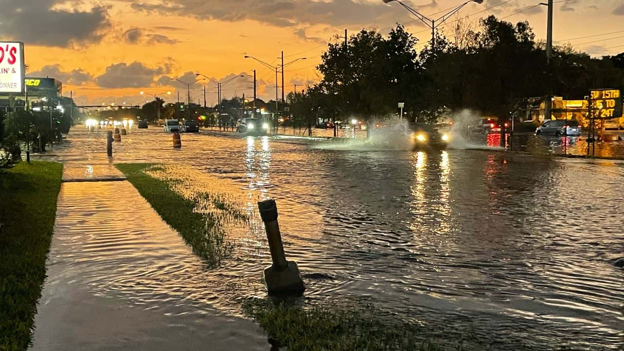
South Florida is under a flash flood warning as a sluggish cluster of thunderstorms unleashed 3 to 6 inches of rain, raising concerns among forecasters
With an eye on the looming threat, 7 million residents along Florida’s east coast and parts of the Keys were placed under a flash flood warning watch lasting until Thursday afternoon. Areas including Daytona Beach, Melbourne, West Palm Beach, Fort Lauderdale, Miami, Key Largo, and Marathon are on high alert.
Forecasters foresee a substantial flash flood warning hazard across southeast Florida and the Keys, expecting heavy rainfall rates peaking at 3 inches per hour from Wednesday afternoon into early Thursday. Projections suggest a broad 4 to 8 inches of rain across the Keys to West Palm Beach, with potential for even higher, double-digit totals in isolated areas. Major cities like Fort Lauderdale and Miami are at considerable risk, cautioned meteorologists.
Adding to the peril, brisk easterly winds up to 40 mph could worsen the flash flood warning, especially if they coincide with high king tides, hindering water drainage
Fort Lauderdale, already experiencing its wettest year on record, surpassed 100 inches of rainfall, a feat only seen once in the past century. An earlier event in April contributed significantly to this surplus.
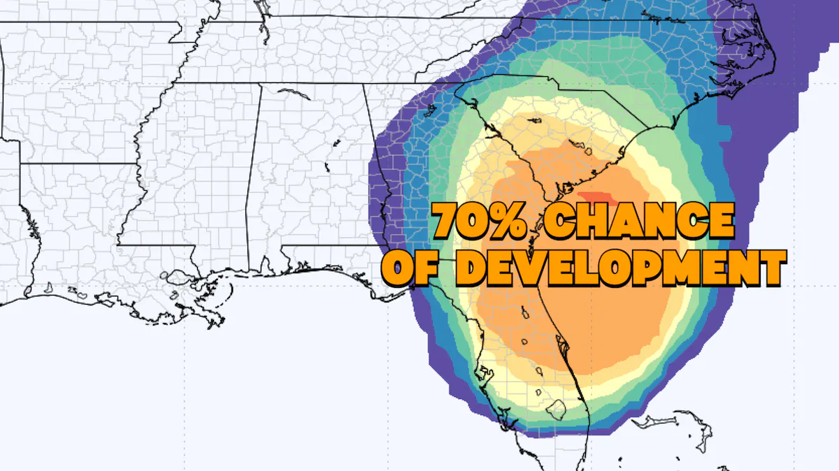
The storm system, causing mayhem in Florida, is anticipated to march up the Atlantic Coast, dousing New England over the coming weekend. It is set to graze the Mid-Atlantic coast on Friday, potentially bringing heavy rain and gusty winds to coastal areas, including the Outer Banks. By Saturday, coastal New England, from eastern Long Island to Downeast Maine, braces for the flash flood warning.
