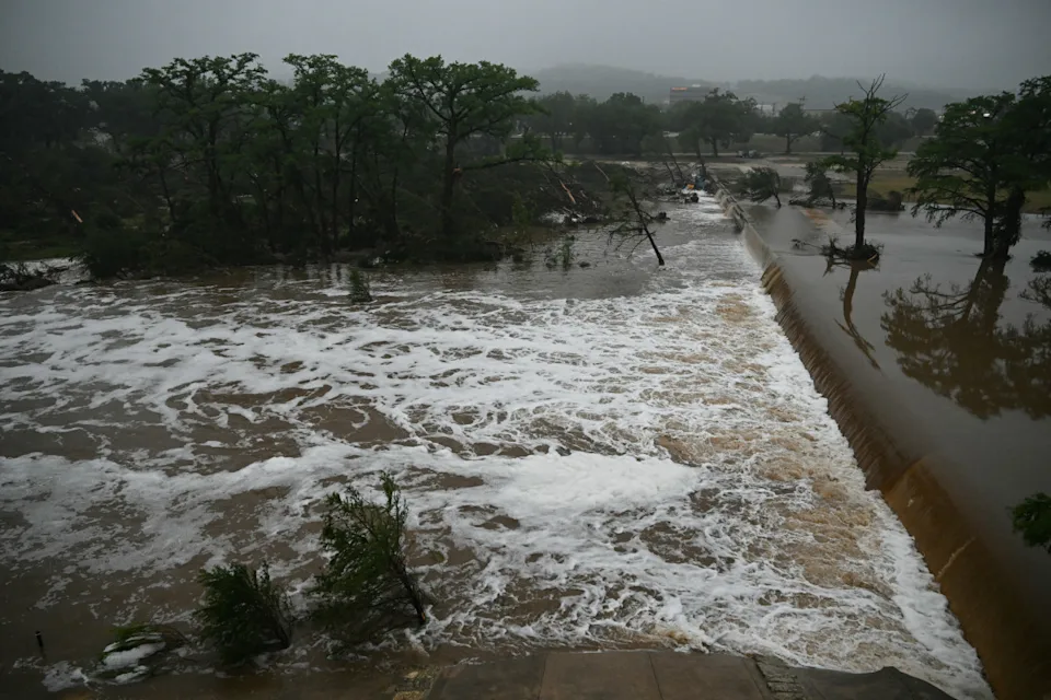
Heavy rainfall could trigger urban flash floods, swollen rivers from snowmelt, and the looming danger of landslides.
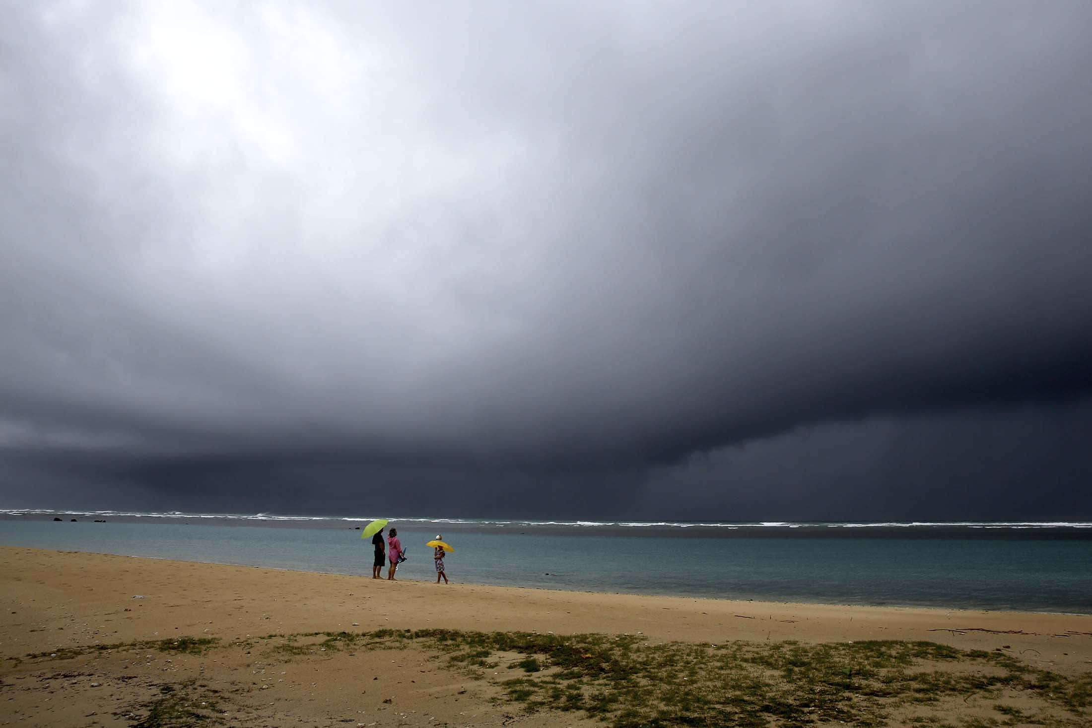
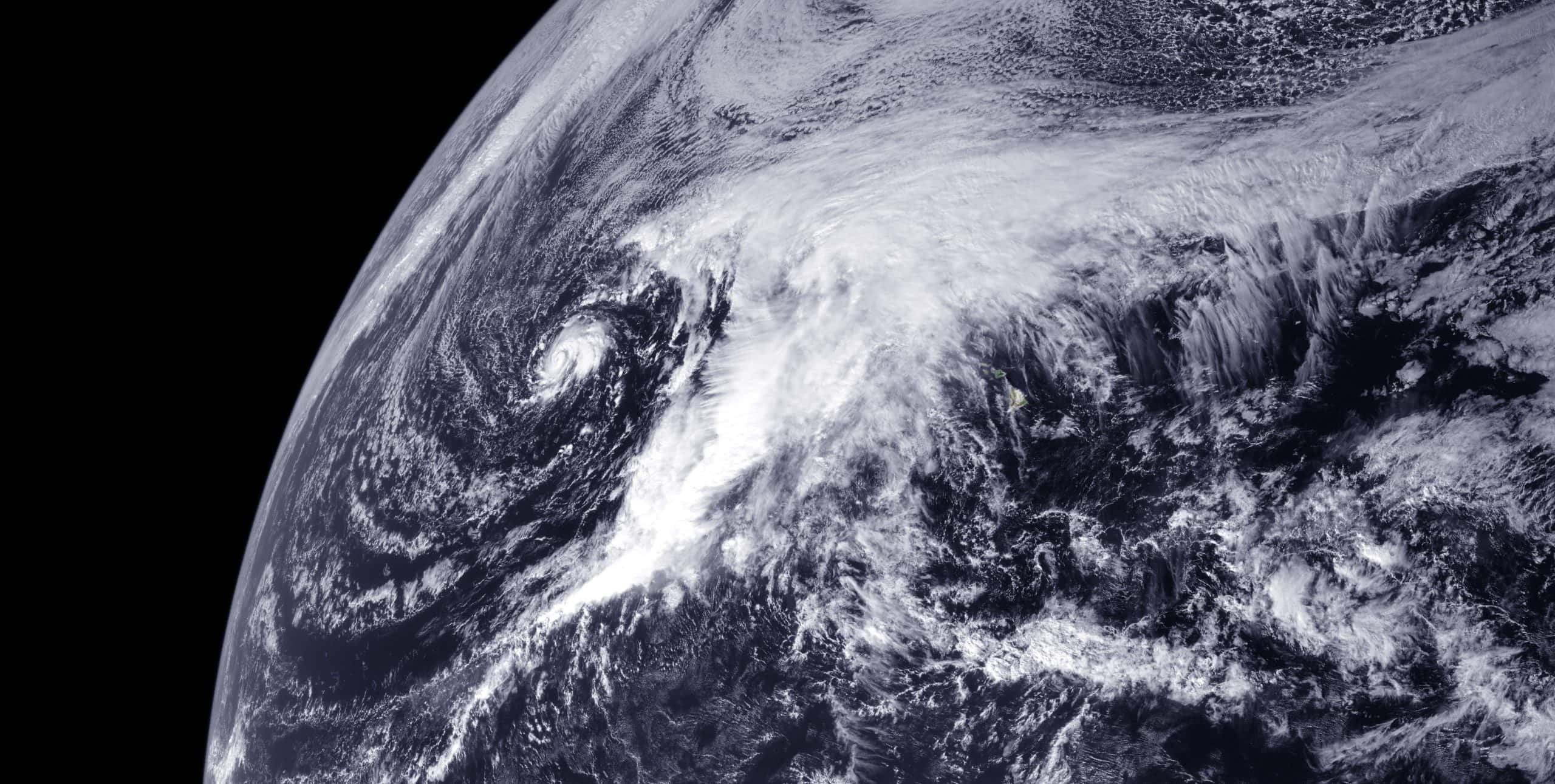
This weekend promises a deluge for the East and West coasts and the Hawaiian islands due to an impending “Kona low storm.” While the East Coast might dodge major flooding, the Pacific Northwest and Hawaii face alarming prospects
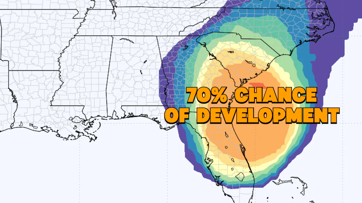
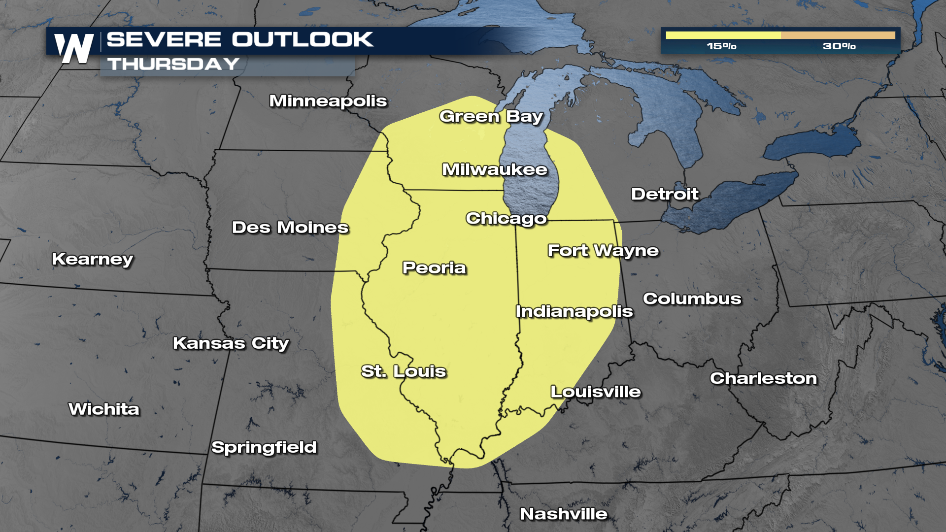
Friday commenced with robust thunderstorms along the Gulf Coast, carrying strong winds, hefty rain, and frequent lightning. These Kona low storms pose threats of damaging winds and a slight tornado risk as they move eastward, especially impacting southeastern Louisiana, southern Mississippi, southern Alabama, and the western Florida Panhandle, including cities like Mobile, Montgomery, and Pensacola.
Saturday anticipates another wave of rain across the Gulf Coast, with potential totals ranging from 1 to 5 inches through Sunday. Meanwhile, lighter rainfall in the Midwest and mid-Atlantic will shift to the Northeast and New England, growing more substantial by Sunday.
The Pacific Northwest faces a prolonged flood watch ahead of dual “Kona low storms,” predicted to bring intense rain, snow, and winds to Washington, Oregon, Idaho, and Northern California
Rainfall could reach 3 to 7 inches, particularly impacting the Cascades, Cascade foothills, and western Columbia River Gorge. Hawaii battles its own “Kona low storm,” marked by excessive rainfall that’s already hit double-digit figures in some areas. The Kona low storm, a hybrid system combining winter storms and tropical cyclones, triggers flooding rainfall, heavy mountain snow, and strong thunderstorms.
Regions typically sheltered by trade winds are witnessing extreme rainfall, reporting up to 17 inches within 10 hours. Despite ongoing drought conditions, the rapid influx of rain heightens the risk of flash floods and landslides, persisting until Saturday. As the Kona low storm gradually moves away, a dry spell is expected to settle in by Sunday, offering some respite.
