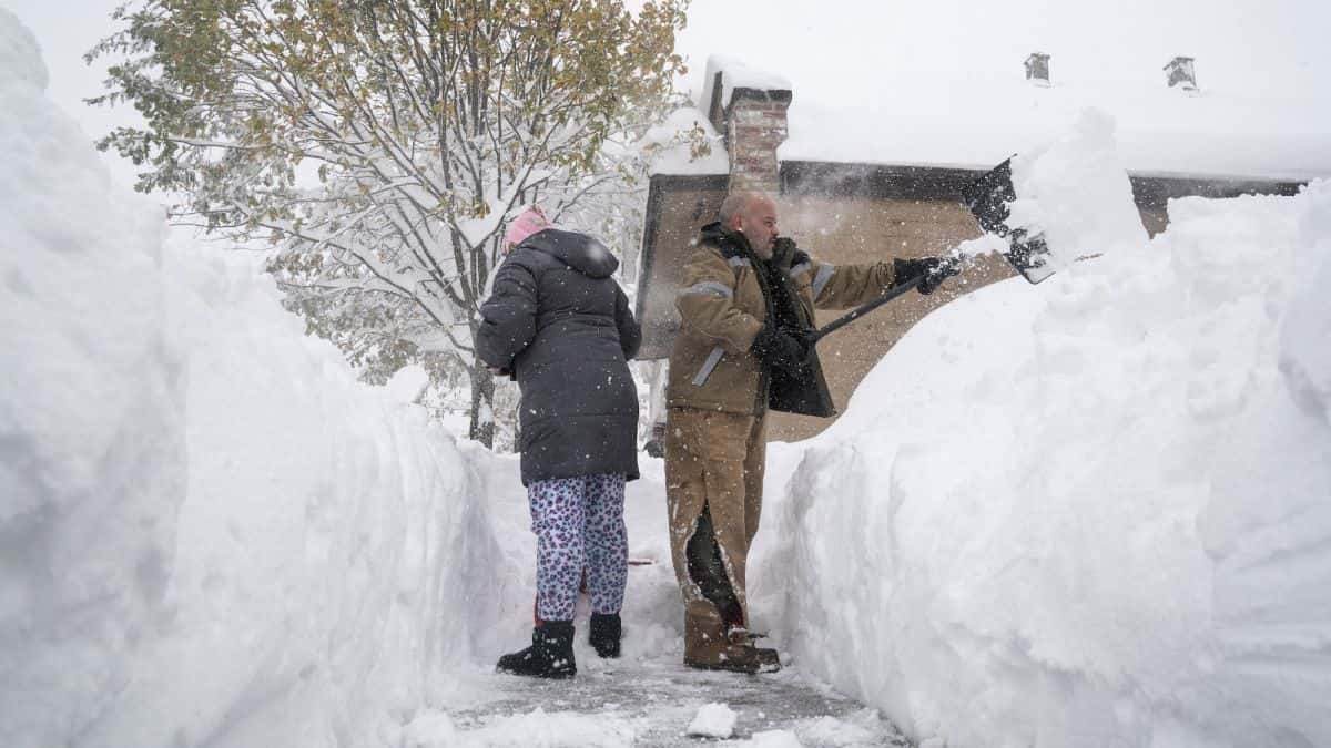
Forecasts indicate a looming possibility of 1-2 feet of snow accumulation in specific regions, prompting the National Weather Service to issue alerts about the expected “difficult to impossible” travel conditions.
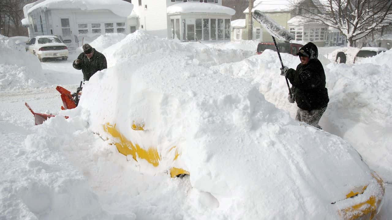
In the vicinity of the Great Lakes, the season for lake effect snow is underway, heralding the arrival of the year’s initial substantial snow event
As conveyed by the weather service on Monday, “Moderate to heavy lake effect snow is anticipated today through Wednesday morning in areas downwind of the Great Lakes.” The peak of this weather pattern is expected to occur Monday night, as highlighted by AccuWeather’s meteorologist Jake Sojda, who stated, “The lake effect snow is poised to intensify across the entire Great Lakes from Monday afternoon through Tuesday morning.”
Travelers are advised by the weather service to remain vigilant as “rapidly changing road conditions and visibilities” are expected. The heaviest snowfall is predicted to concentrate in proximity to the lakes, particularly affecting parts of northern Michigan, northwestern Pennsylvania, and northern New York, as indicated by AccuWeather.
The weather service has projected that the snowfall will largely steer clear of the Buffalo metro area
Lake effect snow, arising from slender cloud formations when frigid, dry Arctic air interacts with sizable, comparatively mild lakes, typically manifests in the autumn or early winter before these lakes freeze. The wind’s direction is pivotal in determining the areas susceptible to this phenomenon, highlighting its localized occurrence.
Recalling a substantial lake effect snowfall near Buffalo in November 2014, AccuWeather highlighted an astonishing 5 feet of snow over 48 hours. Additionally, AccuWeather’s senior meteorologist Alex Sosnowski cautioned about the likelihood of snow squalls away from the Great Lakes, stressing their hazardous nature, particularly on high-speed highways, likening them to rapid summer rain showers and thunderstorms.
While lake effect snow stands as the primary weather concern around the Great Lakes, much of the nation grapples with below-average temperatures this week. The weather service anticipates subpar high temperatures across diverse regions, encompassing New England, the mid-Atlantic, the Carolinas, the Great Lakes/Midwest, the central Plains, the middle Mississippi and Ohio Valleys, Texas, and the lower Mississippi Valley. These temperatures, 10-20 degrees below the norm, underscore the unusual wintry conditions prevailing nationwide, with portions of California facing a freeze warning until Thursday, posing potential risks to crops, delicate flora, and exposed living organisms.
READ ALSO: Thanksgiving Snow Storm Paralyzes Central Plains, Disrupting Holiday Travel For Millions
