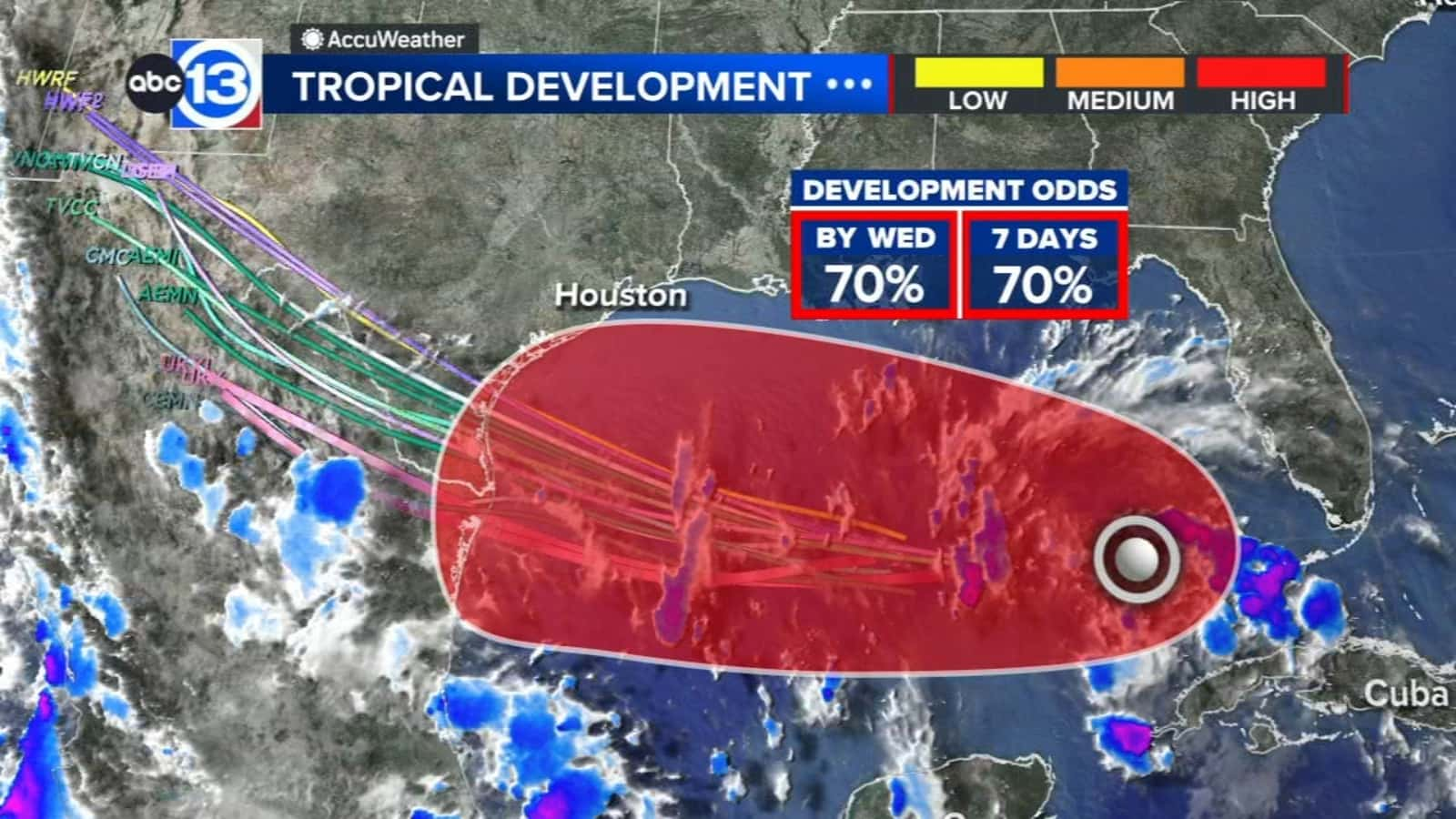
Before making landfall in South Texas, a storm in the Gulf of Mexico has been named Potential Tropical Cyclone Nine, or what may develop into Tropical Storm Harold.
Between Corpus Christi to Brownsville, the coastal bend has been under a tropical storm warning.

Although storm and wind surges may be a concern, particularly if Nine becomes Harold, South Texas will largely see rain from this system. This rain will mostly be helpful because South Texas is largely experiencing a drought.
Tuesday morning into late afternoon will offer the best general possibility for a striking hit from one or more outer rain bands. While it appears like the majority of the heavy rain will be concentrated south of I-10, tropical flooding could provide tenths to quarters of an inch or higher of rain on Tuesday through Wednesday.
As the storm system approaches and finally enters Texas, it will continue to be windy both Monday and Tuesday.


