The National Weather Service has issued predictions that a substantial cold front will advance eastward, causing temperatures to take on a distinctly autumnal character as we head into the weekend.

Cooler temperatures forecasts indicate that a significant weather shift is on the horizon for vast stretches of the Midwest and Eastern United States
In various areas of the northern and central Plains, freeze warnings and watches will be in effect on Friday night. In addition, the Upper Mississippi Valley can anticipate cooler temperatures forecasts plummeting to levels 10-15 degrees below the seasonal average.
On Friday, high cooler temperatures forecasts are projected to plummet into the high 40s and low 50s across Minnesota, Iowa, North Dakota, South Dakota, Nebraska, and Wisconsin. Meanwhile, the thermometer will hover in the high 50s in Michigan, while Indiana and Illinois can expect upper 60s, with Ohio experiencing upper 60s to low 70s. As we move into Saturday, the cooler temperatures forecasts will begin to make their presence felt across the Great Lakes, Mid-Atlantic, and Northeast regions. States as far south as Tennessee and North Carolina should anticipate highs in the 50s or low 60s, while northern states such as Minnesota, Wisconsin, and Michigan will see temperatures in the 40s.
As Saturday progresses, a cold front originating from the lower Great Lakes and extending to the central Gulf Coast will gradually proceed eastward toward the Atlantic Ocean
This cooling trend is also likely to herald changes in the hues of autumnal foliage, with reds, oranges, and yellows becoming more prominent. On Friday, rain is anticipated in regions stretching from the lower Great Lakes to the central Gulf Coast, courtesy of moisture from the western Gulf of Mexico. By Saturday, this precipitation will have shifted eastward with the advancing cold front, affecting portions of the Northeast and Mid-Atlantic regions. Additionally, as Tropical Storm Philippe traverses the western Atlantic en route to Bermuda, it is expected to usher in strong winds and heavy rainfall to New England.
With Philippe’s circulation approaching and sweeping across the area, the National Weather Service has advised that New England should brace for the impact of strong winds and heavy rains from late Saturday through Sunday.
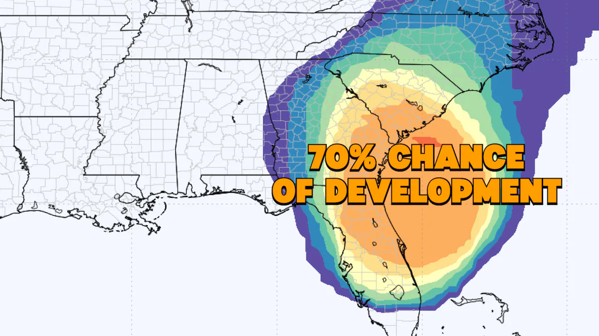
READ ALSO: Hottest September On Record Shatters Previous Highs, Climate Scientists Express Alarming Concerns